 ar
ar bg
bg hr
hr cs
cs da
da nl
nl fi
fi fr
fr de
de el
el hi
hi it
it ko
ko no
no pl
pl pt
pt ro
ro ru
ru es
es sv
sv tl
tl iw
iw id
id lv
lv lt
lt sr
sr sk
sk sl
sl uk
uk vi
vi et
et hu
hu th
th tr
tr fa
fa ms
ms hy
hy ka
ka ur
ur bn
bn mn
mn ta
ta kk
kk uz
uz ku
ku
gps data loggers
Kingmach gps data loggers are evaluated through sensor compatibility and field workflow. A monitoring project may include vibrating wire strain gauges, earth pressure cells, load cells, piezometers, temperature sensors, displacement instruments, accelerometers, and digital bus sensors. The acquisition device must match the signal type and the way the record will be used. A handheld readout can be enough for periodic verification, while an unattended station needs power planning, enclosure protection, upload status, and storage review. Dynamic acquisition needs timing control and signal conditioning. The strongest setup connects the device selection with the physical point, measurement interval, maintenance access, and reporting duty. Compatibility also includes the people who handle the data. A field technician needs stable connection and clear display. An engineer needs channel identity, export format, and time history. An owner needs a record that can be understood after handover. When these needs are considered together, the acquisition device supports the full monitoring workflow instead of only reading a sensor value. For example, a wireless logger for a remote slope has different priorities from a portable readout used during bridge inspection. One emphasizes power, upload, and enclosure condition; the other emphasizes quick connection, display clarity, and clean export after the route. safely.

Application of gps data loggers
Slope and foundation pit monitoring uses Kingmach gps data loggers to keep displacement, load, pore pressure, rainfall, tilt, and structural response records organized. Field crews may use readouts to check sensors during excavation stages, anchor tensioning, drainage work, or inspection visits. Wireless loggers are useful when the site needs continuous records through rain, night shifts, or limited access periods. The acquisition interval should match the risk level and the construction stage. If excavation changes quickly, more frequent records may be needed; if the site is stable, routine intervals may be enough. A well-labeled data logger helps engineers compare changes with rainfall, excavation depth, support installation, and site photographs. In foundation pits, the monitoring record should follow construction sequence closely. Excavation depth, support installation, dewatering activity, anchor work, and heavy rainfall can all change the reading pattern. Acquisition equipment should help the team keep these events attached to the correct sensor group. This makes it easier to see whether a change belongs to construction progress, weather, support behavior, or a device issue. It also helps supervisors compare readings before and after excavation steps, temporary loading, rainfall response, and support adjustments without losing the site timeline. across the construction record. for later review. clearly.
The future of gps data loggers
Future Kingmach gps data loggers will support stronger links between acquisition equipment and monitoring platforms. Readouts and loggers will remain physical field devices, but the value of the record increases when data can move into review systems without losing channel identity or site context. Stable export, wireless upload, remote update, and platform naming discipline will become more important. This direction helps owners maintain continuous records across portable checks, fixed stations, dynamic tests, and long-term monitoring dashboards. Platform integration should also protect field meaning. A channel uploaded from a remote logger should still show its structure, sensor type, acquisition interval, and maintenance state inside the review system. If that identity is lost, the dashboard may look complete while the engineering meaning becomes weak. Future acquisition planning should therefore treat device configuration and platform naming as one connected task. This will reduce manual cleanup after data export and improve long-term traceability. for owners. clearly.
Care & Maintenance of gps data loggers
Care and maintenance of Kingmach gps data loggers should begin with channel and point identity. Every readout or logger record should match the physical sensor point, cable label, channel name, and project location. If labels fade, cables are moved, or channel names are changed without notes, later reviewers may not know which structure or sensor produced the value. Maintenance staff should keep updated channel lists, point photos, and connection diagrams. After a repair or reconnection, the first stable reading should be saved with a note about the work performed. This protects the monitoring history from avoidable confusion. Identity checks are especially important after sensor replacement or cabinet work. A technician should confirm the physical point before accepting a reading, then update the channel map if anything changed. This simple habit prevents a good value from being assigned to the wrong structure. during later review. by engineers and owners. over time. safely. clearly.
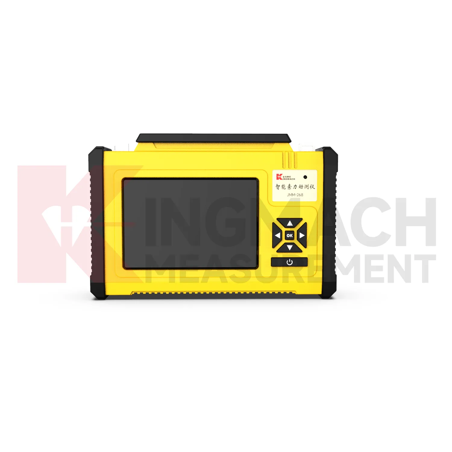
Kingmach gps data loggers
In structural health monitoring, Kingmach gps data loggers help turn distributed sensor points into organized evidence. A bridge may use strain, acceleration, temperature, displacement, and cable force records. A slope may use displacement, pore pressure, rainfall, and tilt records. A tunnel may use convergence, settlement, seepage, and vibration records. Each point has a different physical meaning, so the acquisition system must keep data organized by location and purpose. Readouts and loggers support that organization when they preserve channel identity, measurement time, sensor type, and field notes instead of leaving disconnected numbers in separate files. For remote stations, the acquisition interval, upload status, battery condition, enclosure condition, and last maintenance visit should remain visible so unattended monitoring does not become a blind record. For dynamic tests, timing accuracy, event naming, channel synchronization, and signal conditioning help the team compare motion or strain events with construction activity, traffic, wind, or machinery operation. During handover, photos, channel maps, sensor lists, communication settings, and normal baseline examples help the next team continue review without rebuilding the monitoring history from scattered files.
FAQ
Q: How should devices be maintained?
A: Maintain batteries, connectors, labels, cable routes, enclosures, communication settings, storage, and exported records according to site conditions.
Q: Why record setting changes?
A: A changed interval, communication method, channel name, or firmware state can affect later interpretation, so the date and reason should remain visible.
Q: Can data be reviewed remotely?
A: Wireless and platform-connected devices can support remote review when communication, power, upload settings, and channel identity are configured correctly.
Q: What makes long-term records useful?
A: Long-term records stay useful when baseline values, maintenance notes, device status, sensor locations, and normal behavior examples remain available.
Q: What should buyers ask suppliers?
A: Buyers should ask about sensor compatibility, channel capacity, power planning, storage, communication, export format, field protection, and after-sales support. The record stays useful when point names, channel labels, sensor type, measurement time, and field condition are kept together, because later reviewers can connect the number with the actual structure and inspection history.
Reviews
Christopher Martinez
Very satisfied with the readouts & data loggers. User-friendly interface and supports multiple sensor inputs.
Daniel Brown
Excellent environmental monitoring sensors. The data is consistent, and the system integrates smoothly with our existing setup.
Latest Inquiries
To protect the privacy of our buyers, only public service email domains like Gmail, Yahoo, and MSN will be displayed. Additionally, only a limited portion of the inquiry content will be shown.
Harper***@gmail.comIndia
Dear Sir, we are planning to procure a complete monitoring system including strain gauges, tiltmeter...
Sophia***@gmail.comUnited Kingdom
Good day, we need environmental monitoring sensors including temperature, humidity, and wind sensors...
Related product categories
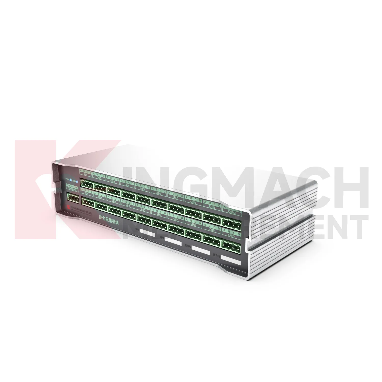
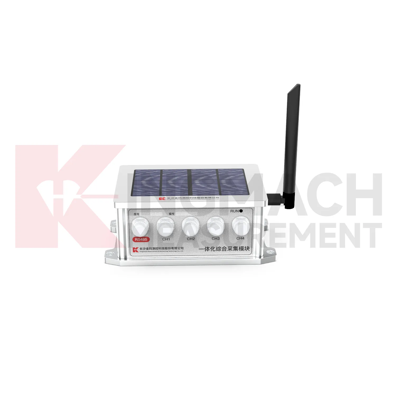
- Integrated Comprehensive Acquisition Module
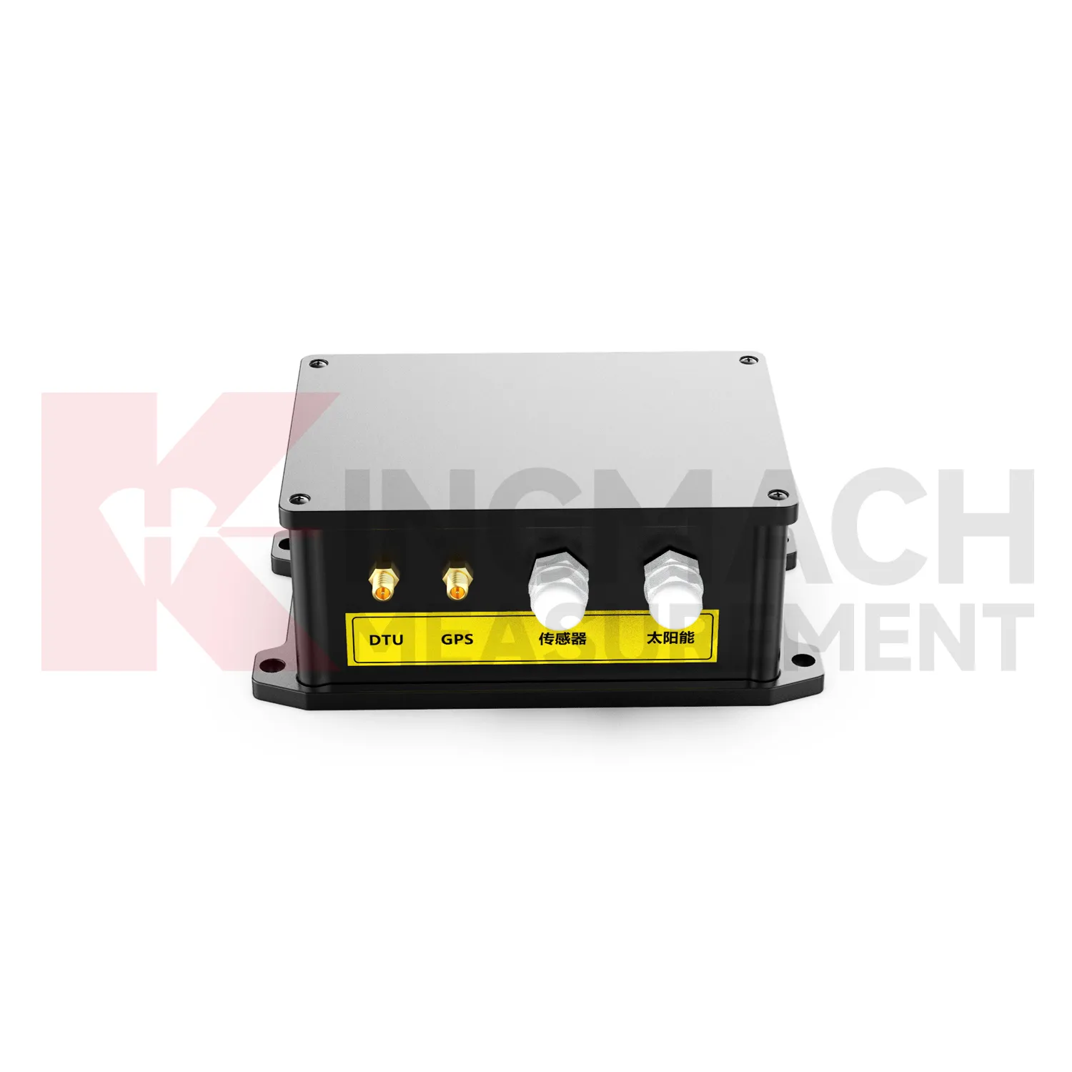
- Wireless Data Logger (low power consumption design)
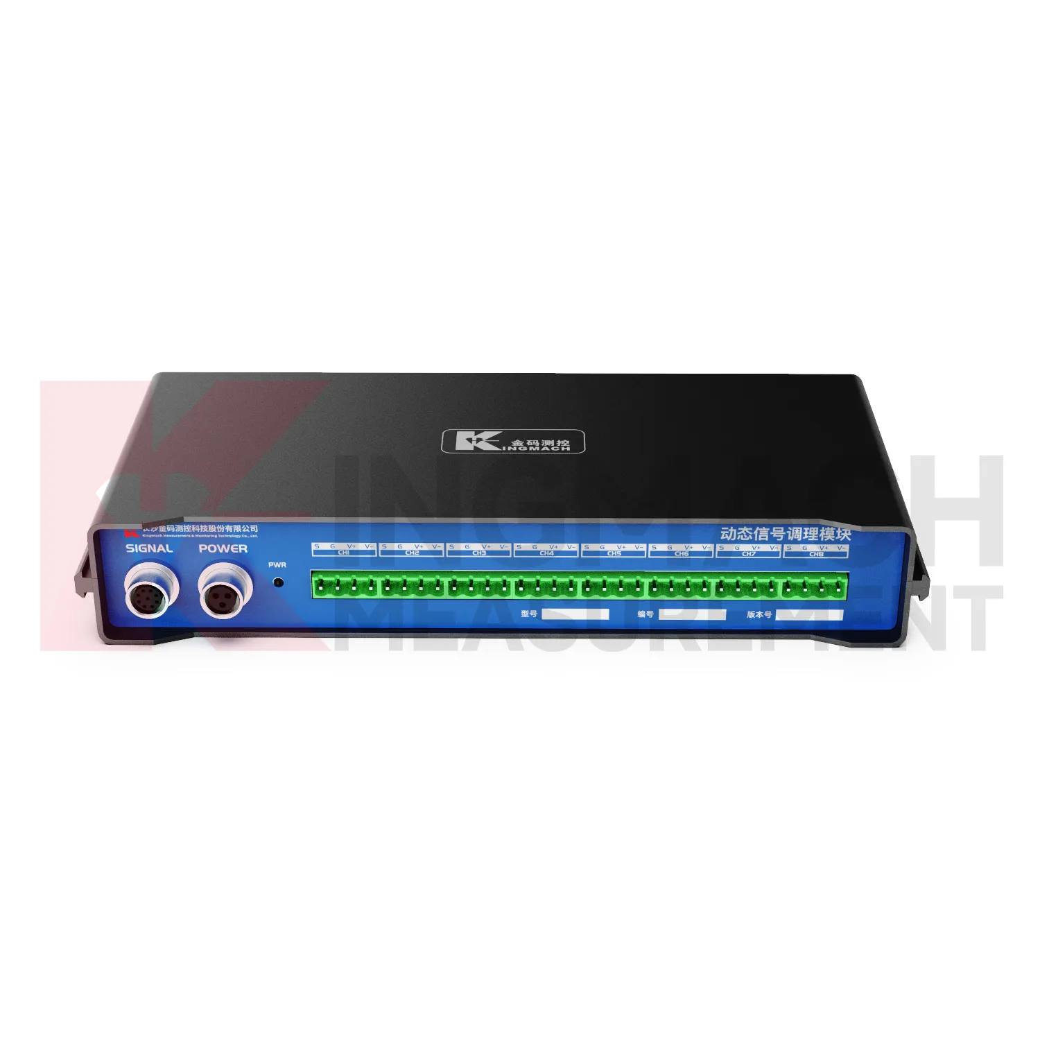
- Data Loggers
- jointmeters
- Communication Systems
- Software Platform
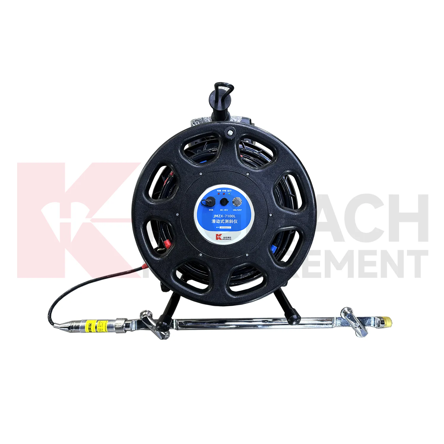
- Survey Equipment
- Data management software
- Monitoring Software Suite
- Groundwater modeling software
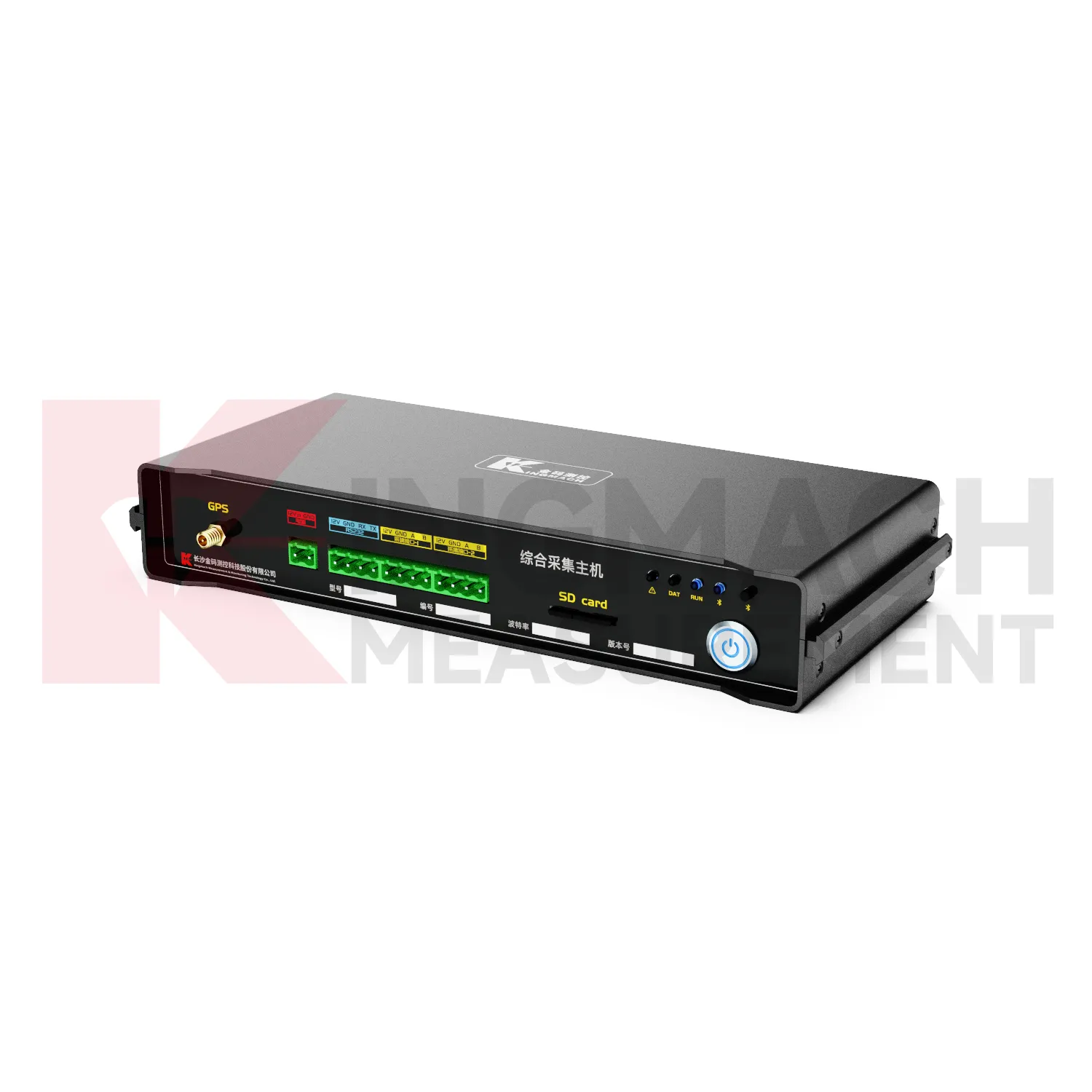
- Data Acquisition Systems
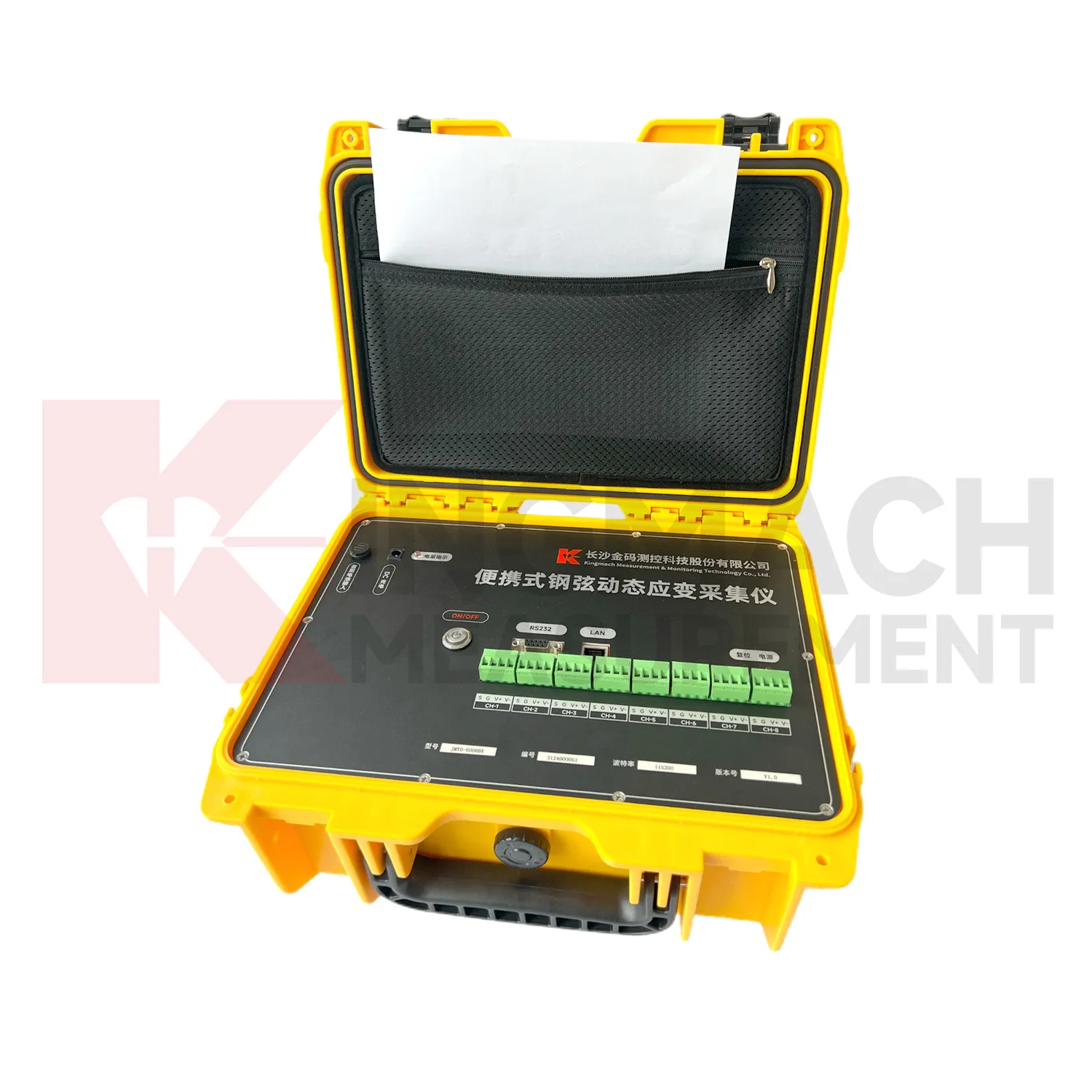
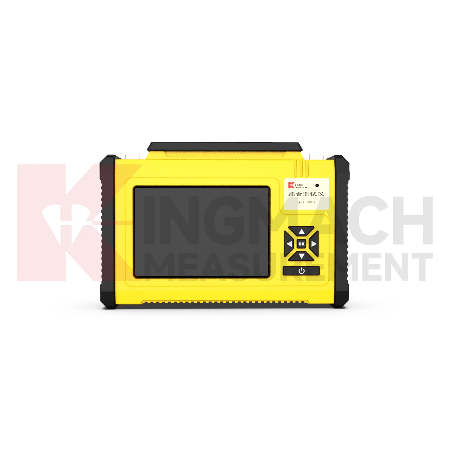
- Portable Vibrating Wire Dynamic Strain Data Logger